Real Estate & Tax Information
Sections
Resources
Geographic information System (GIS)
The Lorain County Auditor’s Geographic Information System (GIS) is a collection of computer programs linking geographic features commonly seen on maps such as roads, parcel boundaries, school districts, etc. with related information not usually presented on maps, such as real estate and appraisal information. Using GIS, one can get owner, appraisal and other information regarding a parcel from an easily to read tax map of that property and properties surrounding it.
The Auditor’s GIS project started in 1995 as a tool to view scanned tax maps and has evolved into a powerful tool for searching property and community information. The Auditor’s GIS has the capability to combine many “layers” of geographic features, including aerial photography, into one map that can be viewed, printed, and saved by logging on to the Lorain County Auditor’s Interactive Website and using the self-serve GIS website.
Special map orders, large format maps and aerial photos, and GIS digital base files are available from the GIS department. Costs for special products vary depending on the nature of the order. Please feel free to contact the GIS department for help with the GIS Mapping Website or to order custom map products.
Contact the GIS Department at 440-329-5553. Local entities interested GIS training should contact Dave Adelsberg (440) 329-5298.
Open Data & ArcGIS Online sites
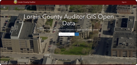
Lorain County has two new GIS web portals to access and interact with Lorain County geographic infomation. You can access them from the links below. You can also download current property datasets for use in other applications.
ARC GIS Portal
.jpg)
Open Data Portal